Water Storage Levels
Last Updated
04/02/2025
| Current Volume |
36817 |
| Current AHD |
86.05 |
| % of Capacity |
100.02 |
| Capacity (ML) |
36810 |
|
100.0%
|
100.0%
|
100.0%
|
100.0%
|
100.0%
|
| Oct |
Nov |
Dec |
Jan |
Feb |
About Torrumbarry Weir
Torrumbarry Weir is located on the Murray River, 35 km north-west of Echuca.
History
The original Torrumbarry Weir used 14 removable steel trestles that could be winched out of the river to allow the passage of floods. The first diversions from the weir pool occurred in June 1923.
The structure operated successfully until 1992, when major damage to its foundations occurred. Extensive repairs were carried out to enable the weir to continue functioning, but a recurrence of the foundation failure could not be discounted and the long-term future of the weir was in doubt.
It was decided that a new weir structure was required, and the new Torrumbarry Weir was constructed between 1993 and 1996. The existing lock structure was retained.
The original trestle weir and lock chamber have been listed as Historic Building No 993 in Victoria and permits for works need to be obtained from the Historic Buildings Council of Victoria. Major components of the trestle structure have been preserved and a Heritage Display/Information Centre was established.
Operations
The pool formed by Torrumbarry Weir allows for diversions into the Torrumbarry Irrigation Area via the National Channel. Approximately 500,000 ML is diverted to 120,000 ha of irrigated land each year, yielding agricultural products with a gross value of about $130 million.
Torrumbarry Weir also provides water for the Kerang Lakes, an internationally recognised wetland, and is a significant regional tourism and recreational facility.
Location
Facts & Figures
| Name |
Torrumbarry Weir |
| Stream |
River Murray |
| Year of Completion |
1996 |
| Construction |
Concrete & Earthfill |
| Full Supply Level |
86.05 m AHD |
| Capacity |
36,810 ML |
| Area Submerged |
ha |
| Main Embankment Length |
Weir: 73.5 m |
| Main Embankment Height |
6 m |
| Hydro-electric Generation |
nil MW |
Recreation and Tourism at Torrumbarry Weir
Facilities Available

Large Grassed Area

Car Parking

Boat Ramp

Fishing

Toilets
Please observe all signs and directions around our storages for information on recreational activities. Refer to the Land and On-Water Management Plan (if provided above) for detailed information on the facilities available.
Further Information
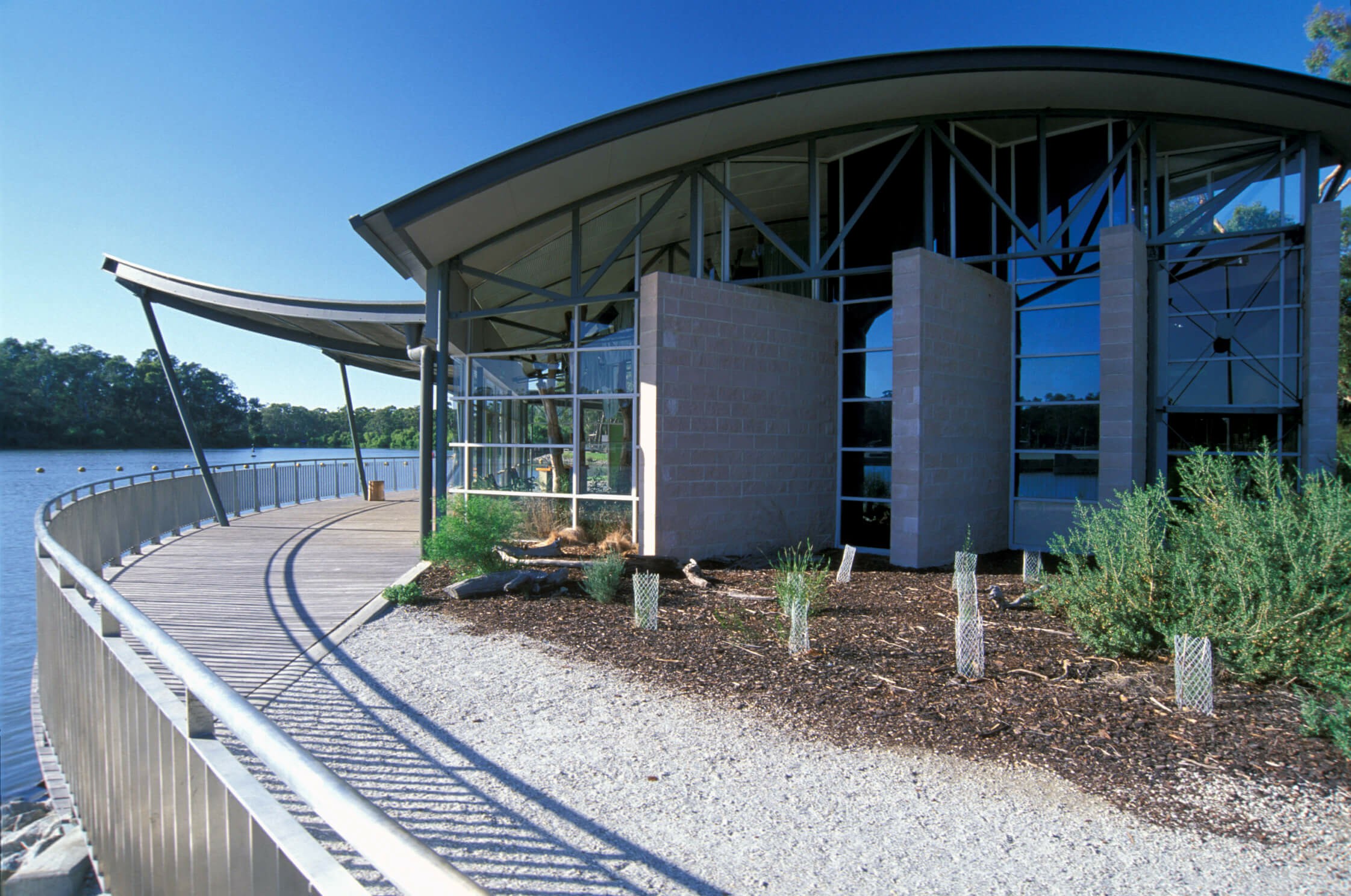
Torrumbarry Interpretive Center
Location and Accessibility:
The centre is situated at the Torrumbarry Weir located between Echuca and Gunbower. The location makes it a convenient stop for visitors exploring the river and the surrounding region.
Exhibits and Displays:
The interpretive centre offers a range of exhibits that cover topics such as the history of the weir, the ecology of the Murray River, and the importance of water management in the area. These exhibits are designed to be educational and engaging for visitors of all ages.
Educational Programs:
The centre is often a stop for school groups, community organisations, and tourists. It’s a self-guided experience that aims to enhance understanding of the local environment and the challenges of managing water resources. The centre highlights the importance of conservation and sustainable water management practices. It showcases the efforts being made to protect the health of the Murray River and its ecosystems
Opening hours
The centre is open 7 days a week except on public holidays.
Monday 8am - 4pm
Tuesday 8am - 4pm
Wednesday 8am - 4pm
Thursday 8am - 4pm
Friday 8am - 4pm
Saturday 8am - 4pm
Sunday 8am - 4pm
 Visitors centre